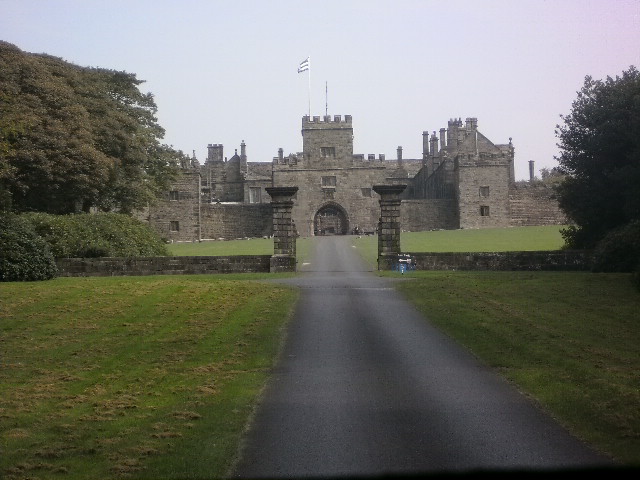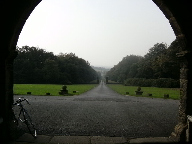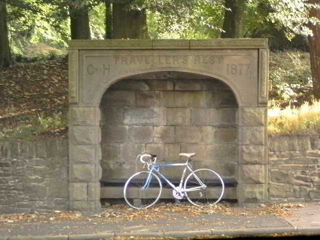
Trigger takes it easy while her owner frantically pours water over his head, collapsed next to the road.
You remember the movie “Ice Cold In Alex”? The one where John Mills is fighting Nazis in the desert during the Tobruk campaign of WWII, and all he wants to do throughout is get to Alexandria and have an ice cold beer?
That’s how this ride was for me today. After a couple of weeks fighting an illness, during which Trigger was confined to the kitchen, in ‘typical me’ fashion I threw myself back into the saddle earlier this week and promptly burned myself out. Which made today’s excursion to Tockholes village, with its attendant hills and climbs, an absolute nightmare. And all I could think of was the cool beer waiting for me somewhere at the end of the ride.
But I’m getting ahead here…. let’s see… In order to get back on the horse, as it were, I spent a hour or two a few days previously programming some maps into the Strava app on the phone that my sister gave me for my birthday (cheers Sis!). Sites of local interest, you know the type. Hopefully, this would make all the tedious flying up and down country lanes in search of a holy stone a thing of the past. Or so I thought.
So, after doing the morning school run, I set off on Trigger, following the map in search of the village of Tockholes, as the sun broke loose from her mooring and began to ping pong her way across the sky.
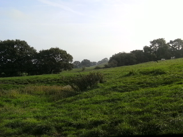
Notice the incline on the above picture? Yep, that’s the way things were going to stay as I got underway. The map showed a distance of just under 10 miles. As I wound my way out of Preston and along Gregson Lane, I began to realise that they were all uphill. And there was a further surprise to come.
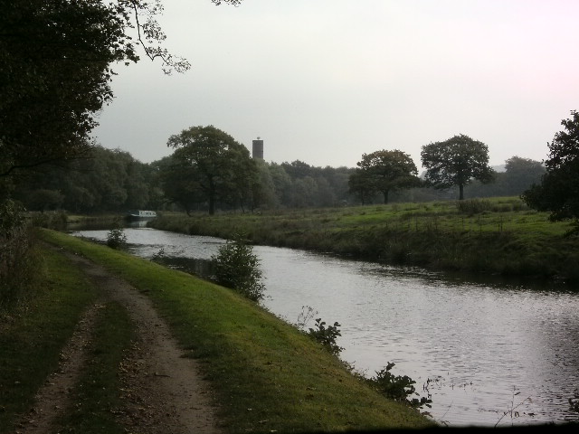
Yes, that there is the Leeds – Liverpool canal, a cobbled towpath alongside that the map led me to after 5 or so miles. In my short yet colourful life, I’ve encountered canals before, and have come to appreciate them with much gladness of heart. Except when I’m trying to build up a head of steam on a stoney towpath and my balls are rattling like a tin of dried peas.
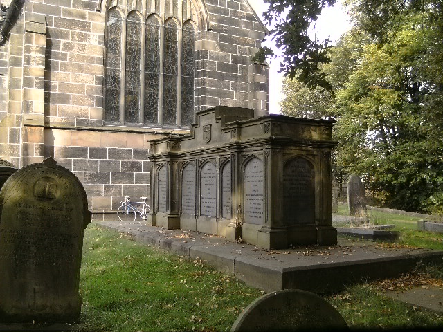
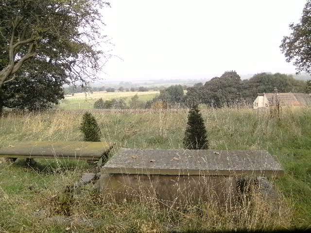
Time for the first (now obligatory) Church shot – a lovely sepulchre in the grounds, with a Trigger photobomb.
Now that’s Hoghton Church above, nice place for a rest stop, and the site of the picture at the top of this page, a “Traveller’s Rest” shelter directly over the road. Still, time was moving on, so on we went. The road rose, and more than once my current lack of fitness forced me from the saddle to walk the bike up a hill. This is what happens when you concentrate on writing for a couple of weeks. Eventually though, we chugged into Tockholes, tired, sweaty, and probably on the nose a bit to anyone we encountered. And without going all gothic on you, I was thrilled to spot this:
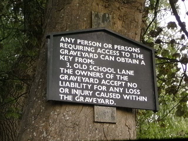
…a small, rectangular graveyard, in the heart of Tockholes village, entirely separate from any church. It had a wonderful view, raised as it was above fields and roads, and I suppose it would be a nice quiet place to spend eternity.
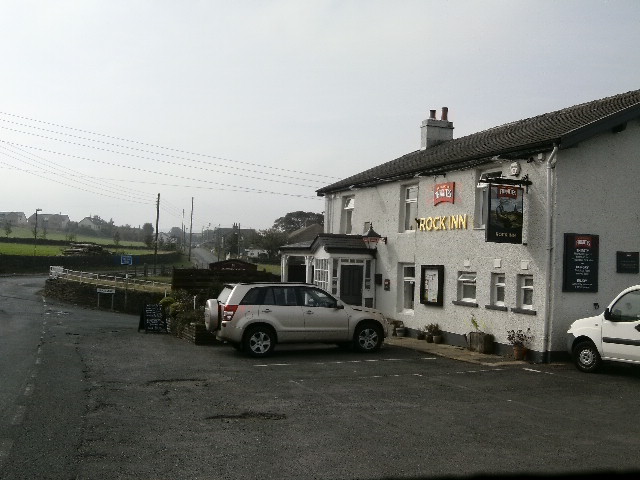
So there we were, we’d made it to Tockholes. Only I was looking for some ruins, and on the map I’d only given myself directions to the village. Hey – ho, how hard could it be to find a ruin, eh? I mean, I found my way straight HERE:
Only, it being not far short of 10.30am, the place was closed. Plus, beer and cycling don’t mix. At all.
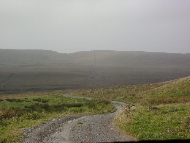
Still, the weather was fair, and there was a silence to the place that would have been quite disconcerting if day had been dark. Paradoxically enough, the weather when I was lower in the valley seemed much sunnier than when I was higher up, where the murk was much more pronounced:
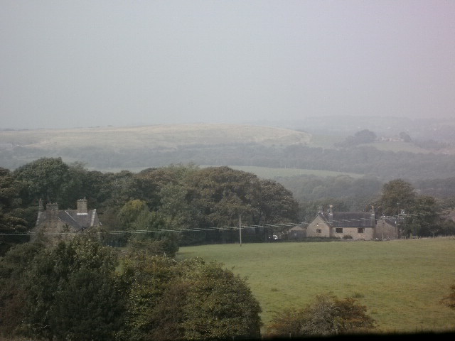
I’d like just to say at this point, to the couple in the red van that was parked facing the view as I drew up, that it was no use in you pretending. I saw exactly what you were up to, and quite frankly it’s illegal in 17 American states and certain parts of Scotland. Not Wales, though.
Now, I don’t quite believe that Tockholes is 1400ft above sea level (as Strava tried to convince me), but it’s certainly very high up. Imagine a single long street built almost on the crest of a cliff, and you’re pretty much there. The only thing to do was to whizz down all of the roads that led away from the street until I found the ruins I sought. First of all, I came upon this…
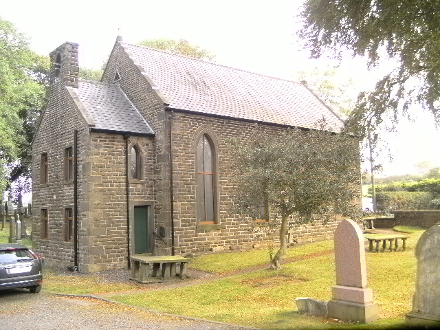
Yes, that’s another church. This one’s Tockholes church, and I loved all the green hues around it, a feast for the eyes.
A walk back up the hill, a whizz down a different road, and this…
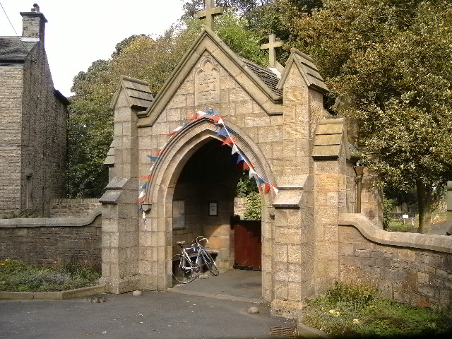
We’ve already had TWO church pictures and I don’t want you to think I’m overly obsessed, so here’s the lychgate for St Stephens, Tockholes.
Frustrated at the lack of ruins and a little concerned at the number of churches there may be per head of Tockholes population, I saddled up and hoofed it out of town. My phone was down to 15% battery power (eats it, does Strava), so I headed out searching for the A675 and opting to make my way back by a longer route that would at least be signposted (for when the battery failed completely). I was determined to find my goal though, and soon found myself edging along a muddy track that looked like this:
I finally gave up, hopelessly lost and doubling back for home. And that’s when opportunity knocked.
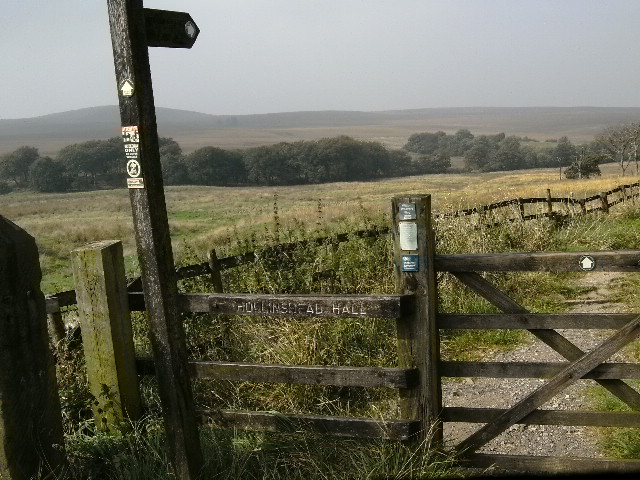
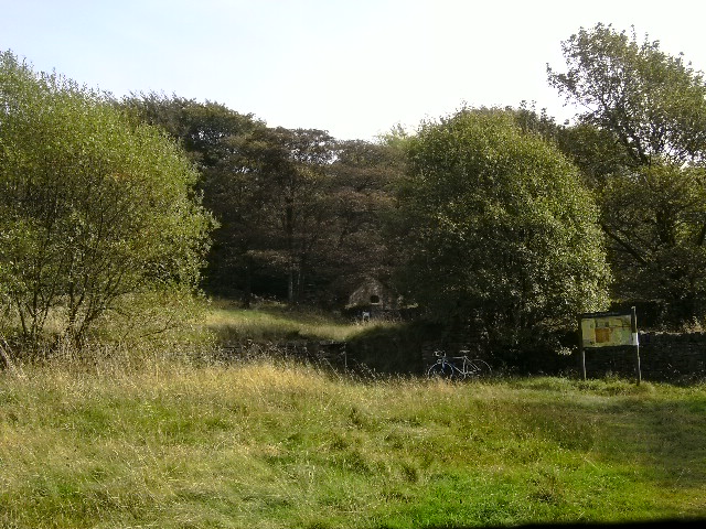
If seeketh ye the same as I, here be the entrance. Open thine eyes wide, though, for ‘t appears not twice a year, when the moon glows with the Autumn. Yarr.
Here then, is the entrance to Hollinshead Hall, a couple of miles outside Tockholes. The single track path led down into the woods, impossible to cycle along, but it was such a glorious view and feeling of natural wonder that it was difficult not be overwhelmed by it. Not for nothing is this place revered by Pagans, mainly due the fact that water springing here comes from five separate sources, a sacred proposition.
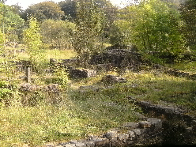
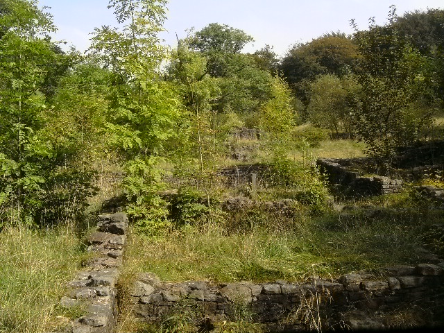
There’s been a manor of some sorts on this site since the 14th century, although it was allowed to fall into ruin over time and was eventually demolished a century ago. There’s still much to see of the foundations, though, and I was particularly impressed with the deep ‘bath -house’.
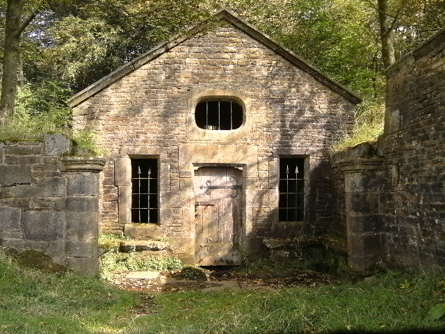
The only building left fully standing is the Wellhouse, seen earlier.
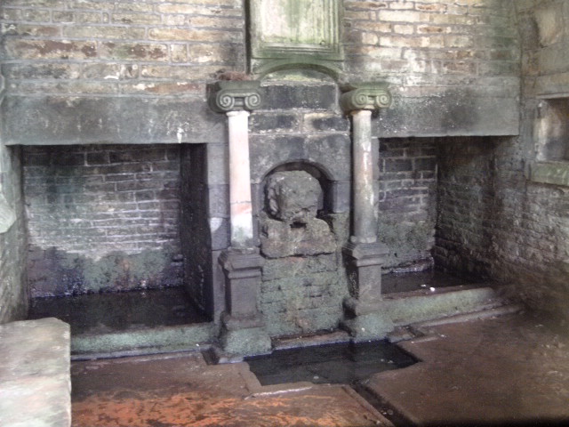
It’s all locked up, private property, dangerous place, yadda yadda yadda. Poking a camera through those (pretty damn terrifying, if you’re alone) windows reveals this:
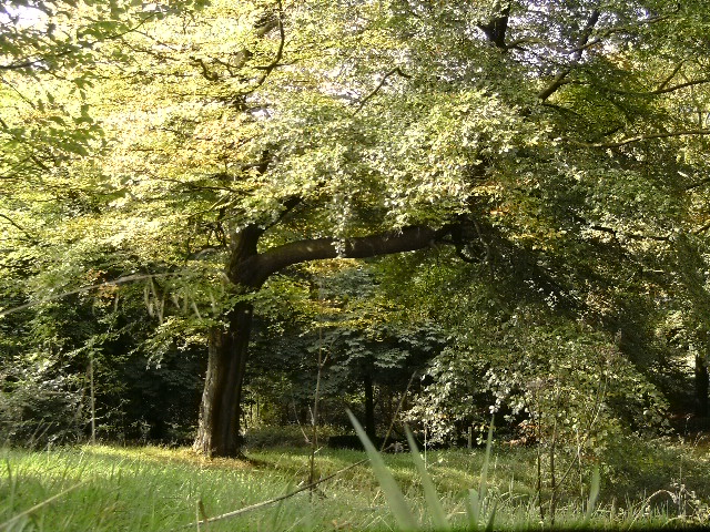
Time to move on though, although here’s one last shot of the place to show what kind of a day it was:
So that was Tockholes. And Hollinshead Hall. And back on the A675, the journey home was ALL DOWNHILL. Took over an hour and a half on the way out, under 45 minutes back. And on the way, more fatigued than ever and almost tasting the cool beer I’d promised myself, I cycled up to this wee place and polished off the last of the water bottle:
….but that’s a story for another day, eh?
‘Til next time,
S.
(& T).

